-
ChicagoImpart Encyclopedia of Art. "Galle Fort." August 4, 2026. https://imp-art.org/articles/galle-fort/.
-
MLA"Galle Fort." Impart Encyclopedia of Art, Aug. 4, 2026, https://imp-art.org/articles/galle-fort/.
-
HarvardImpart Encyclopedia of Art (2026) Galle Fort. Available at: https://imp-art.org/articles/galle-fort/ (Accessed: 16 October 2026).
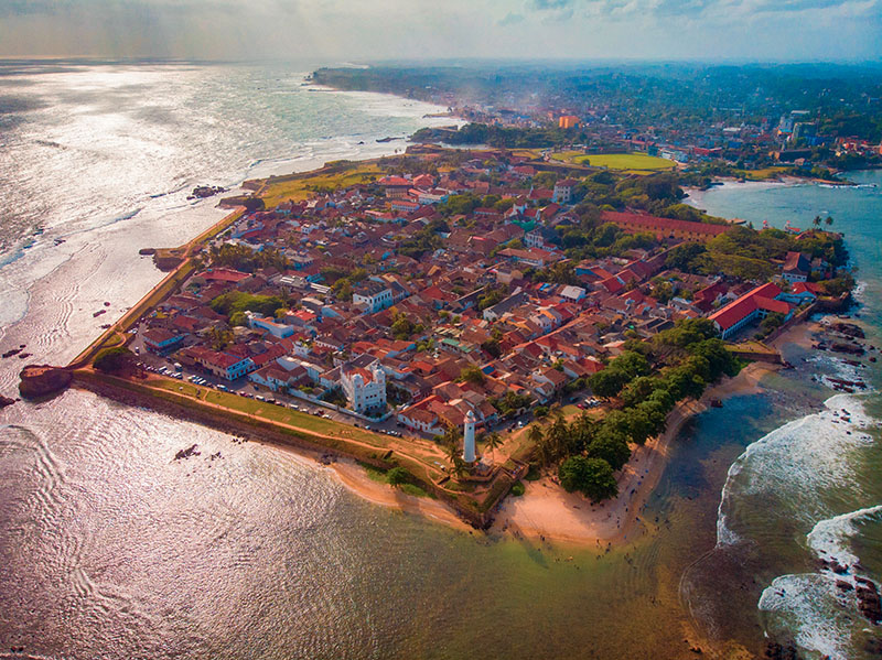
A historical trading port off the southern coast of Sri Lanka, Galle Fort (or the Old Town of Galle) was developed successively by Portuguese, Dutch and British imperial forces between the sixteenth and nineteenth centuries. Today part of the larger Galle city, Galle Fort is notable for its well-preserved Dutch-era construction — monumental fortifications, sewerage infrastructure, and architecture — demonstrating a hybrid of European and local styles, materials and sensibility, and incorporating the site’s natural topography.
Historical background
Among the earliest definitive references to Galle is a mention by fourteenth-century traveller Ibn Battuta, though the port is generally considered to have occupied an important place in Indian Ocean trade between West Asia and East and Southeast Asia since at least the early centuries CE. It derives its name from the Sinhala gal (‘stone’ or ‘rock’) — referring to its rocky bay — later misinterpreted as the Latin for ‘rooster’ (gallo) by the Portuguese, who also adopted the bird as the port’s mascot.
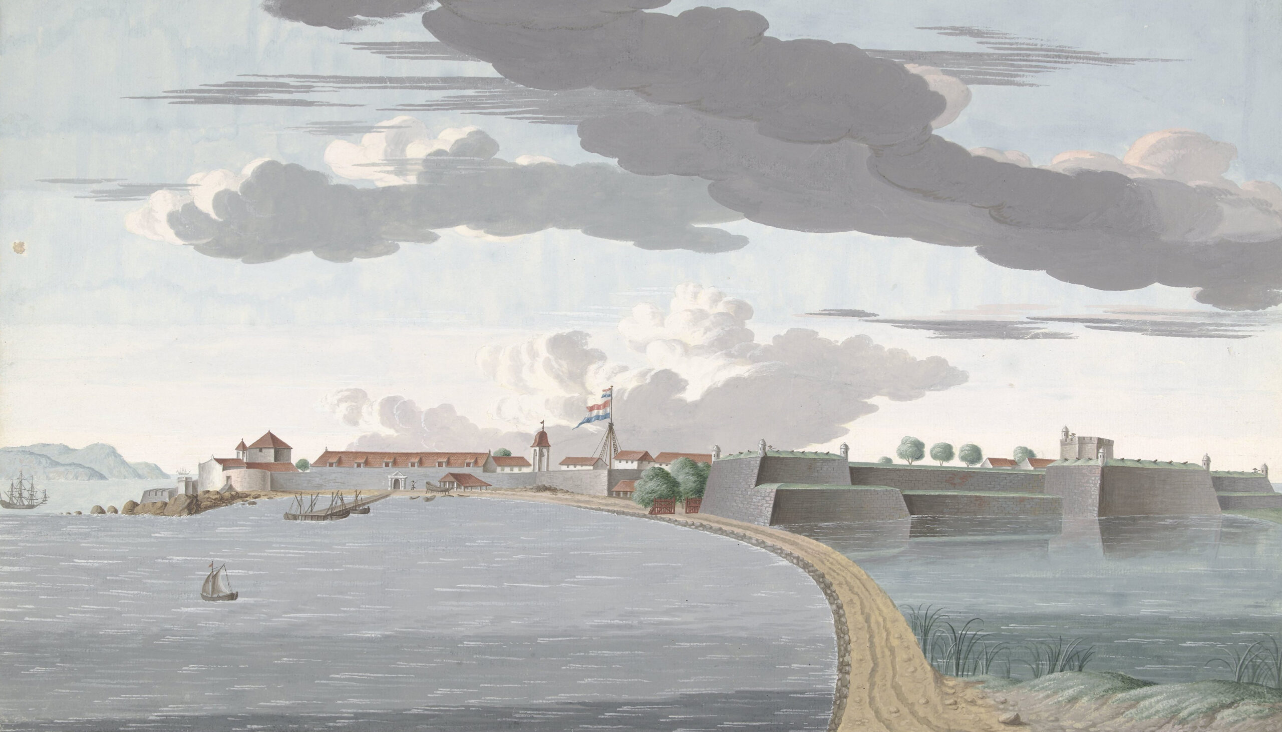
When Portuguese sailors arrived in Sri Lanka in the early sixteenth century, Galle was under the control of the Sinhalese kingdom of Kotte. In return for military assistance against the rival kingdoms of Jaffna and Kandy, the king Vijayabahu VI agreed to allow the Portuguese to trade in the island’s prized cinnamon, and signed a treaty rendering Kotte a Portuguese state. Subsequently most of the rest of the island too came under Portuguese power, which was centred in Colombo. By 1625, the Portuguese under General Constantino de Sá de Noronha had fortified Galle on its northern, landward side, and installed two batteries of guns along the coast to protect its spice trading interests against other naval powers, especially the Dutch; they also occupied the town and built various institutions such as barracks, a church with a monastery, and a warehouse, displacing the Sinhalese to the east of the peninsula.
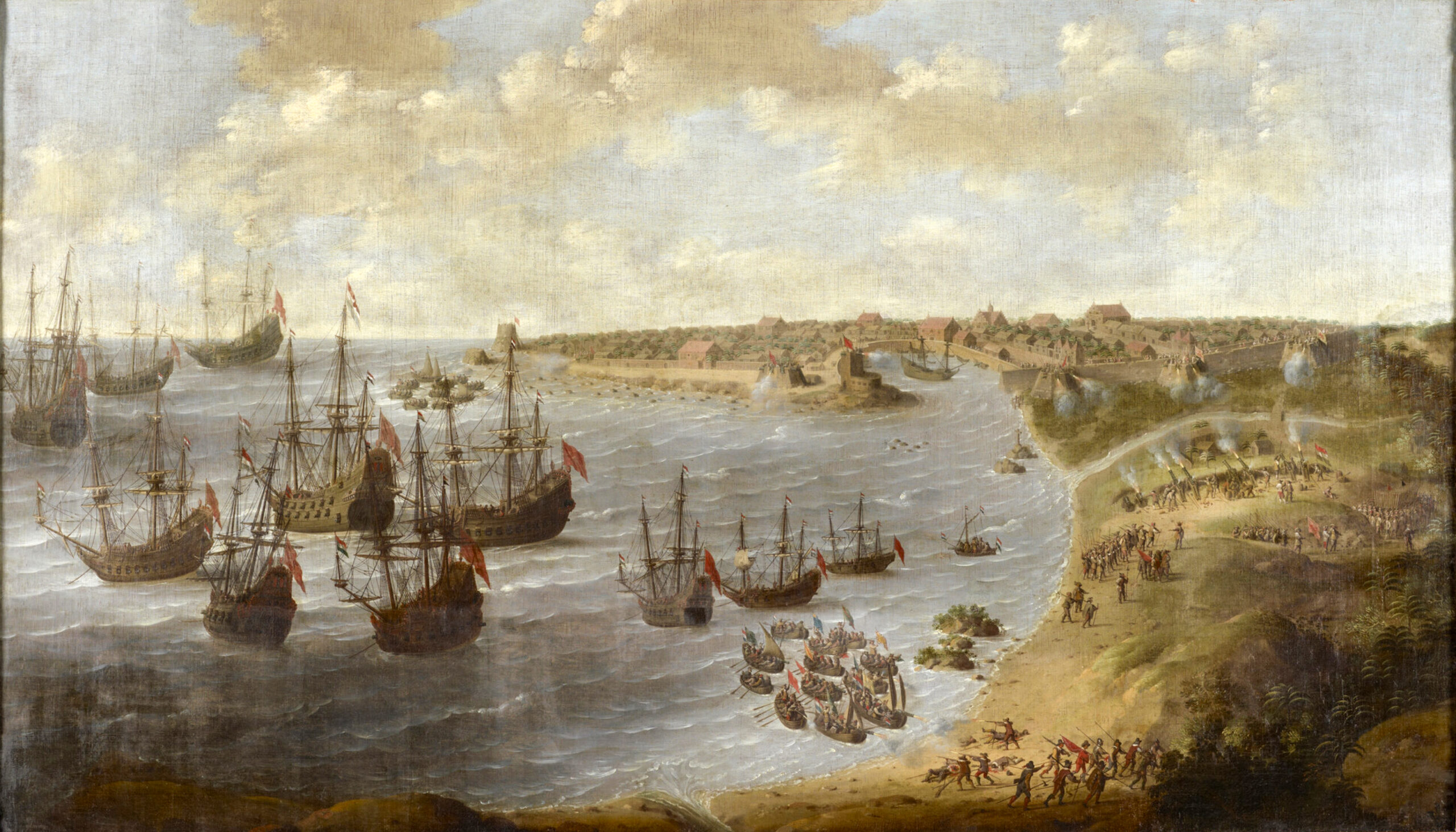
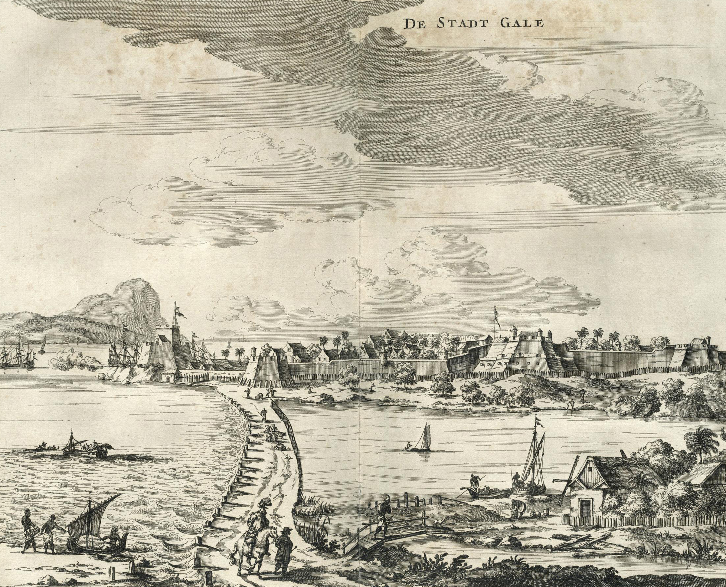
In 1640 the Dutch East India Company (VOC), allied with the king Rajasinha Il of Kandy, took control of Galle after a six-week siege and violent combat. Galle remained the Dutch capital in Sri Lanka until 1656, when they were able to conquer Colombo and subsequently supplant the Portuguese across the island. Galle, however, retained its strategic maritime and military importance particularly in light of colonial spice trading interests. Under the governor Petrus Vuyst between 1726 and 1729, the Dutch extensively redeveloped both the fort and the town. Built over the original Portuguese plan, it is largely the construction from this period that stands to this day. In 1796, Galle was surrendered to the British East India Company, who made few changes over the next century; this period saw a gradual decline in Galle’s maritime and economic position, especially with the opening of the Suez Canal in 1869 and the development of Colombo as a commercial port.
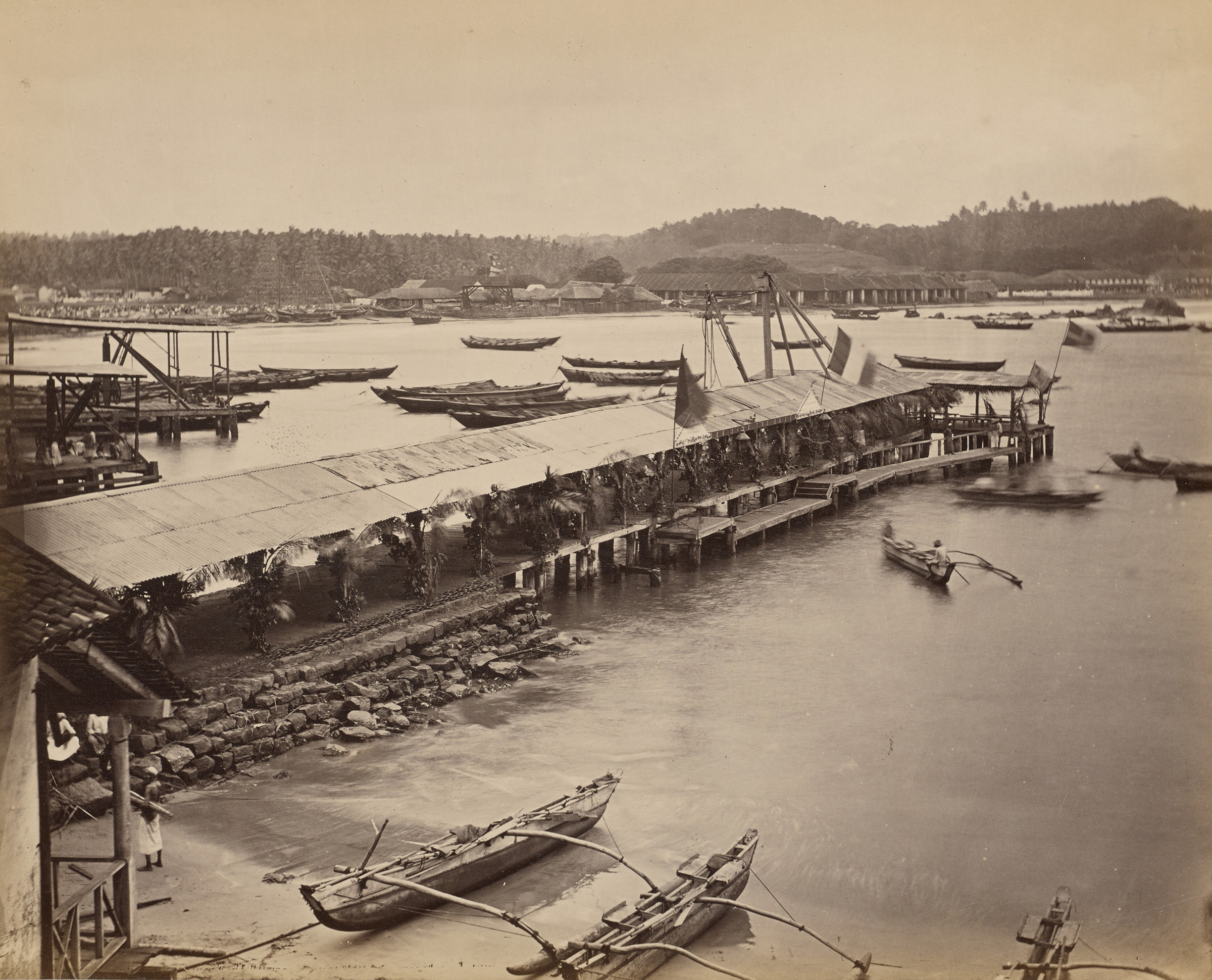
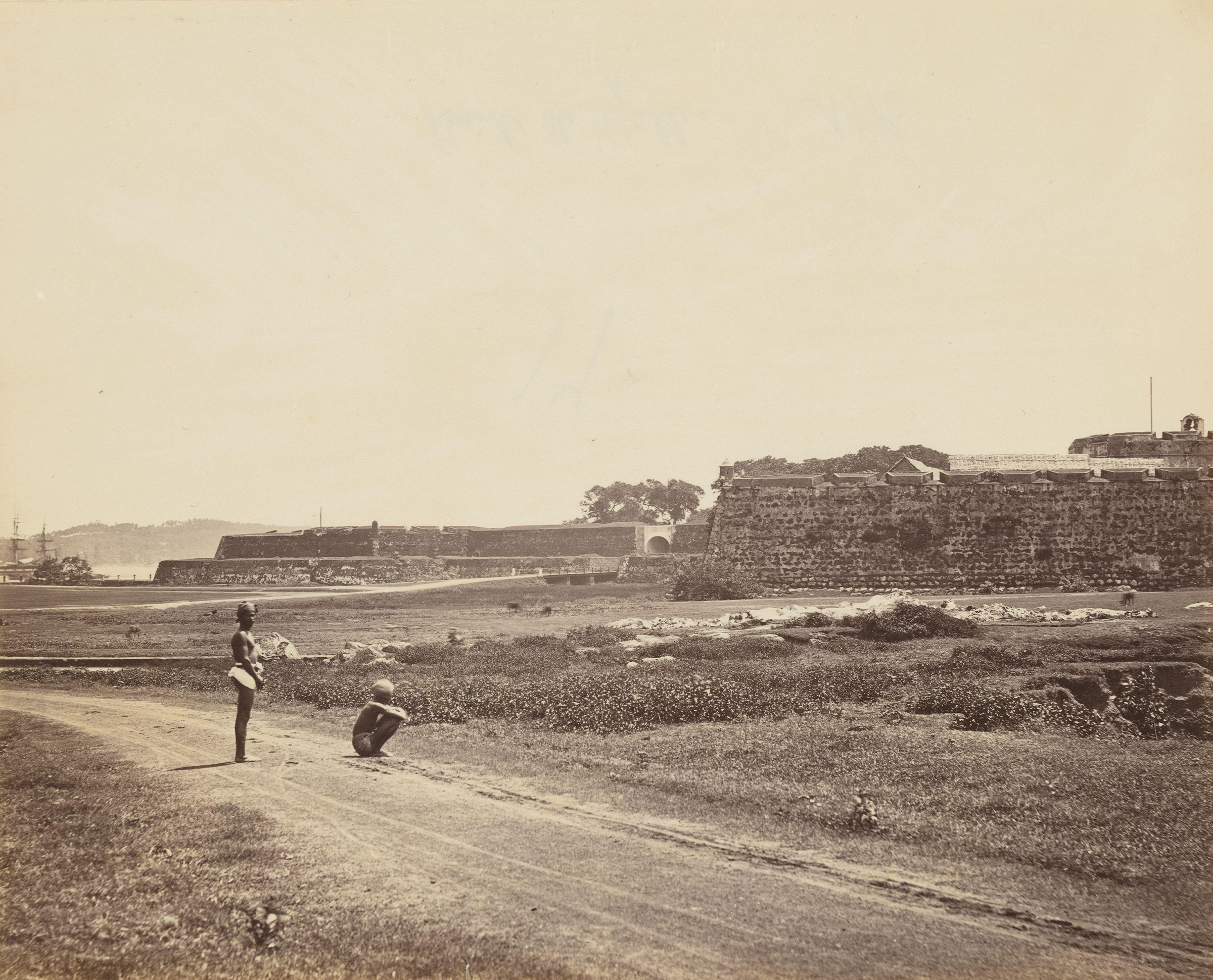
Fortification
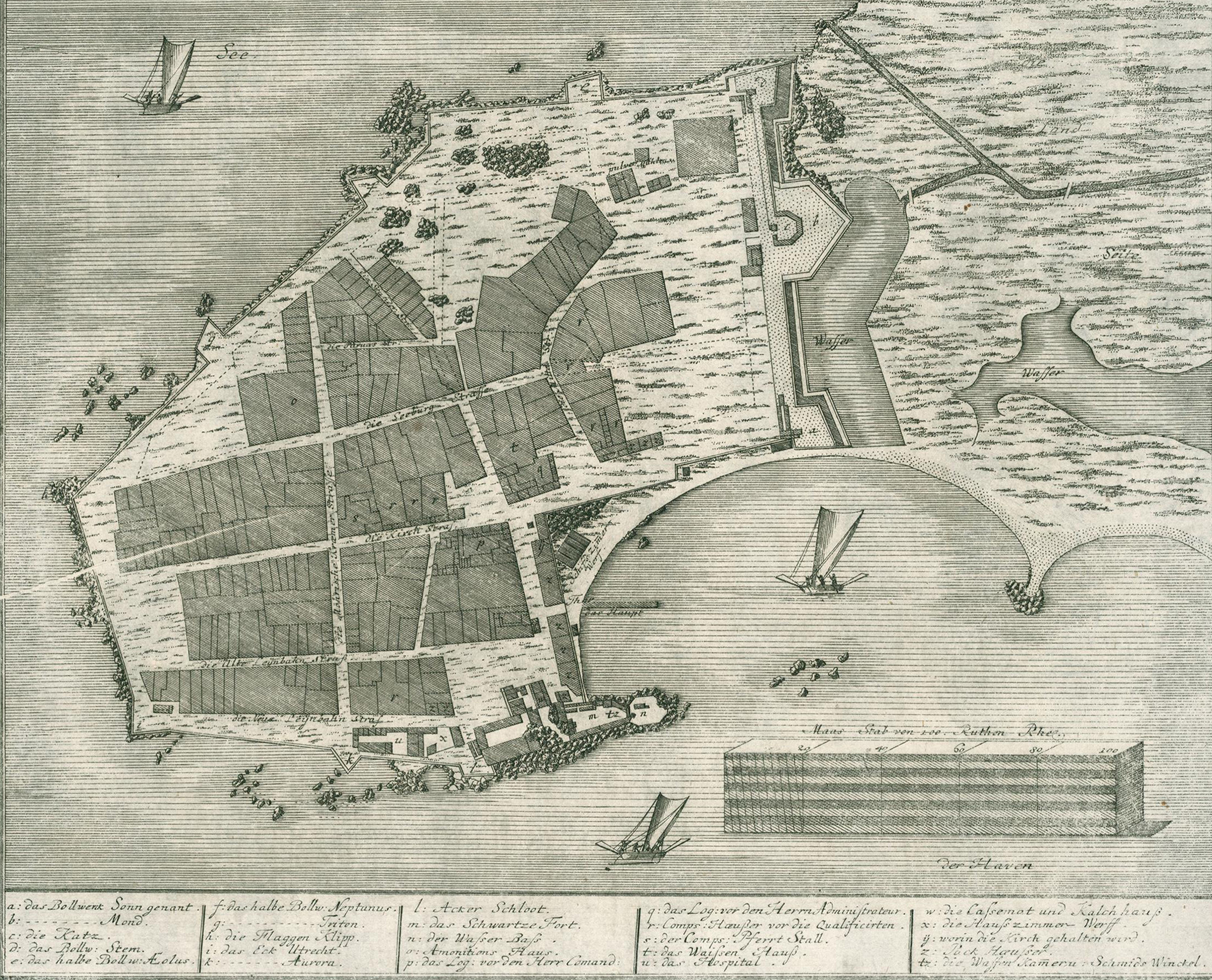
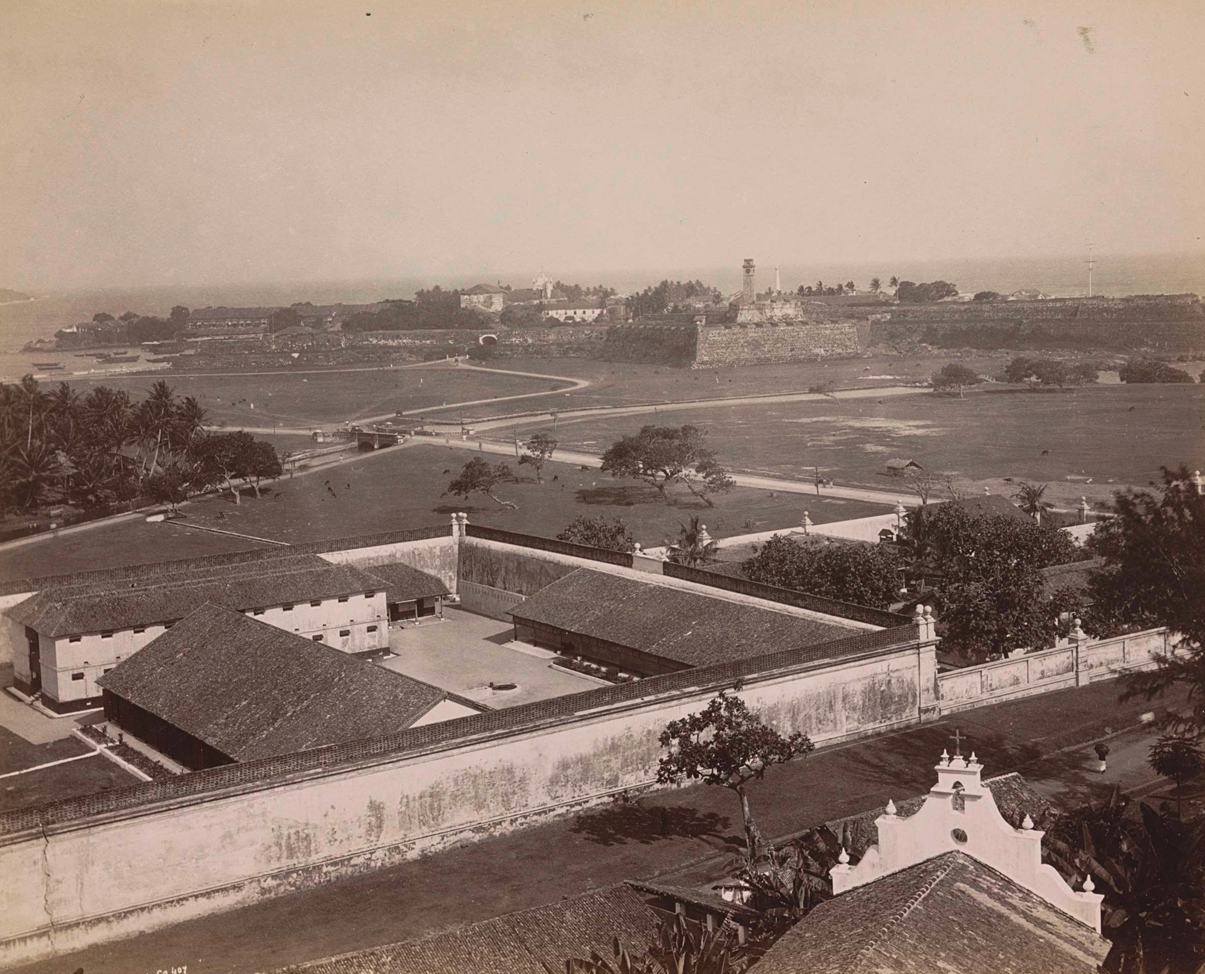
Galle Fort covers an area of 52 hectares, comprising the entirety of the rocky peninsula projecting southwards into the Laccadive Sea from the Sri Lankan mainland, with a small natural harbour formed along its eastern side. It is walled along the entire perimeter including the isthmus; the fortifications follow the natural contour of the peninsula, punctuated by fourteen strategically positioned bastions. To its north, on the mainland, is the rest of the present-day city of Galle.
The northern bulwark, or defensive wall, across the isthmus was originally constructed by the Portuguese using reinforced earth. It featured three bastions, named São Jago, Conceição and Santo António — later renamed as the Sonn (Sun), Mond (Moon) and Stern (Star) bastions by the Dutch — as well as a moat, and a water tower at each corner.
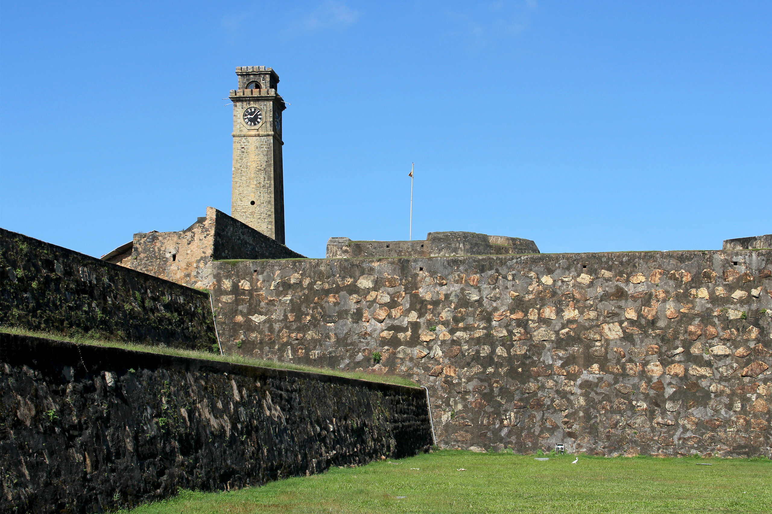
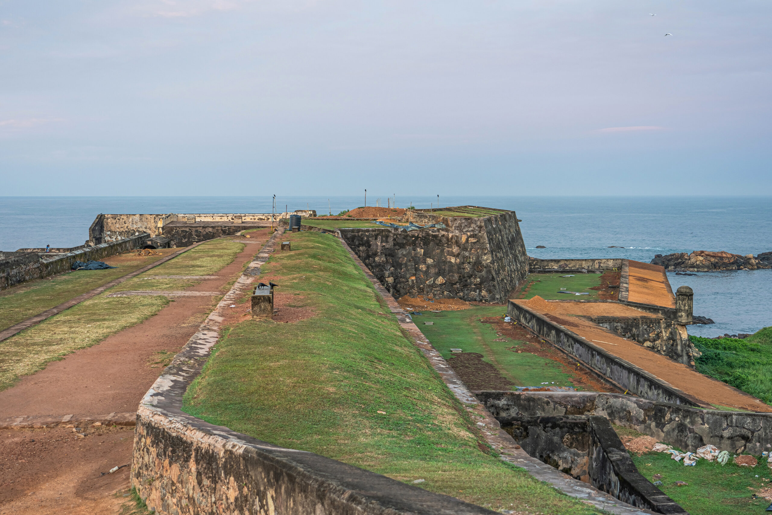
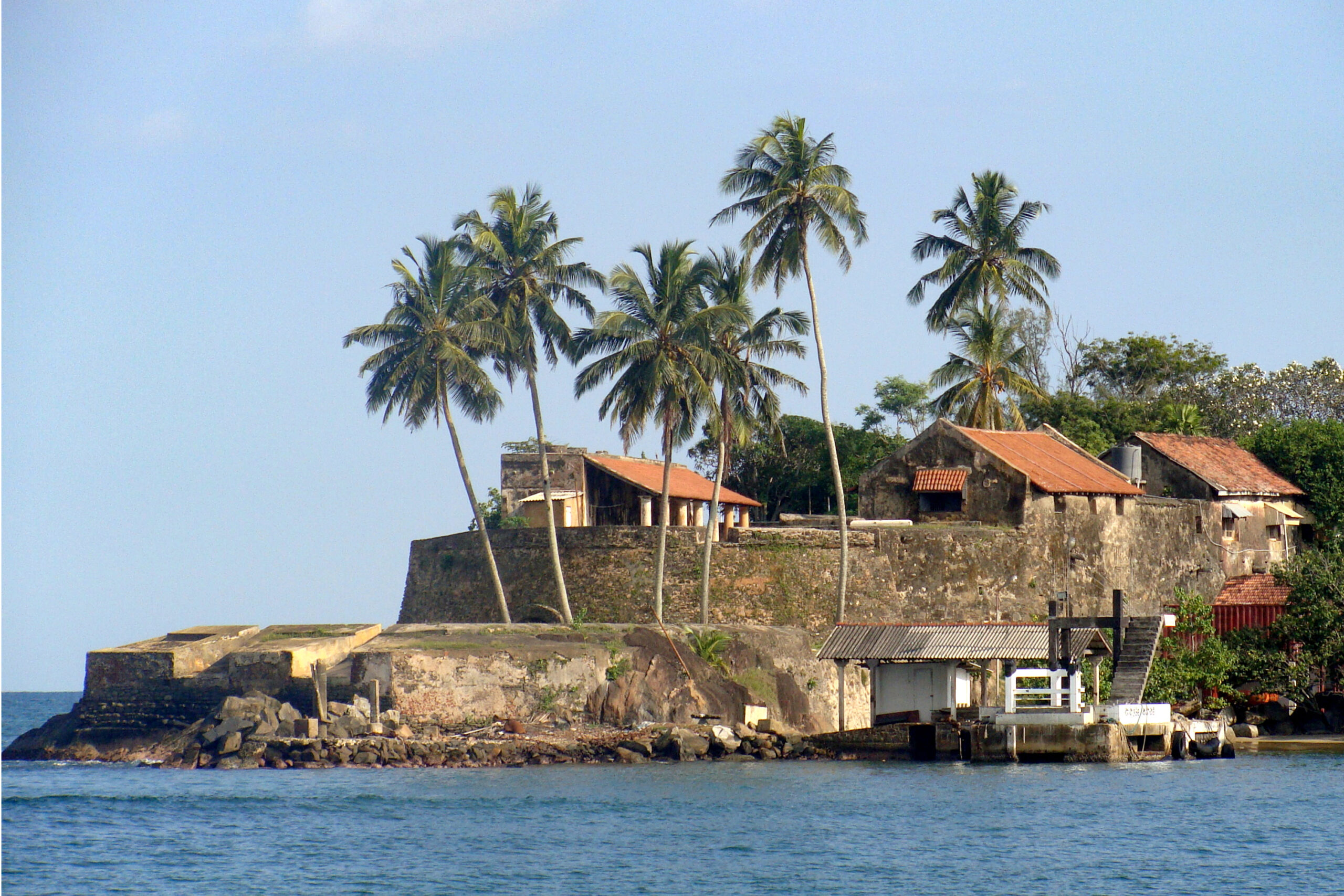
In the eighteenth century, the VOC added to and strengthened the Portuguese fortifications to their present form according to the latest in Dutch military engineering, with adaptations for local conditions. Having previously found earthen construction unable to withstand tropical rains, they reconstructed the northern wall in stone and lime — as well as coral from the reef along the coast — making it much taller than that of the Portuguese. It also had a depth of 30 metres, including a faussebraye (a low wall or breastwork) preceding the moat, which offered a lower angle of fire against attackers and helped preserve the integrity of the main wall. The bulwarks surrounding the peninsula were also constructed by the VOC; previously, the Portuguese had considered the rocky bay along the coast to be sufficient protection. By the end of the eighteenth century, under the British, the moat was drained, an entrance added between the Sun and Moon bastions, and a road built along the eastern wall.
Town planning and infrastructure
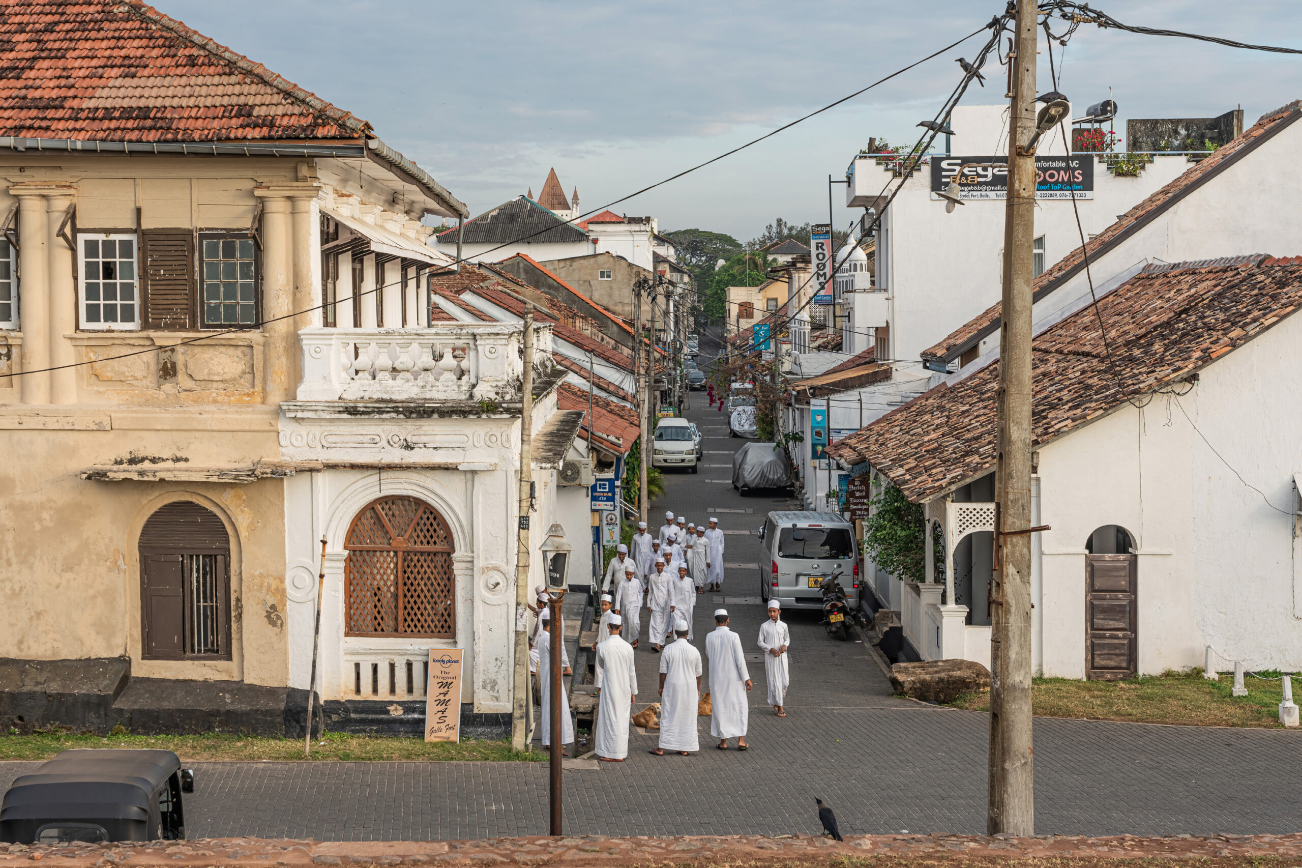
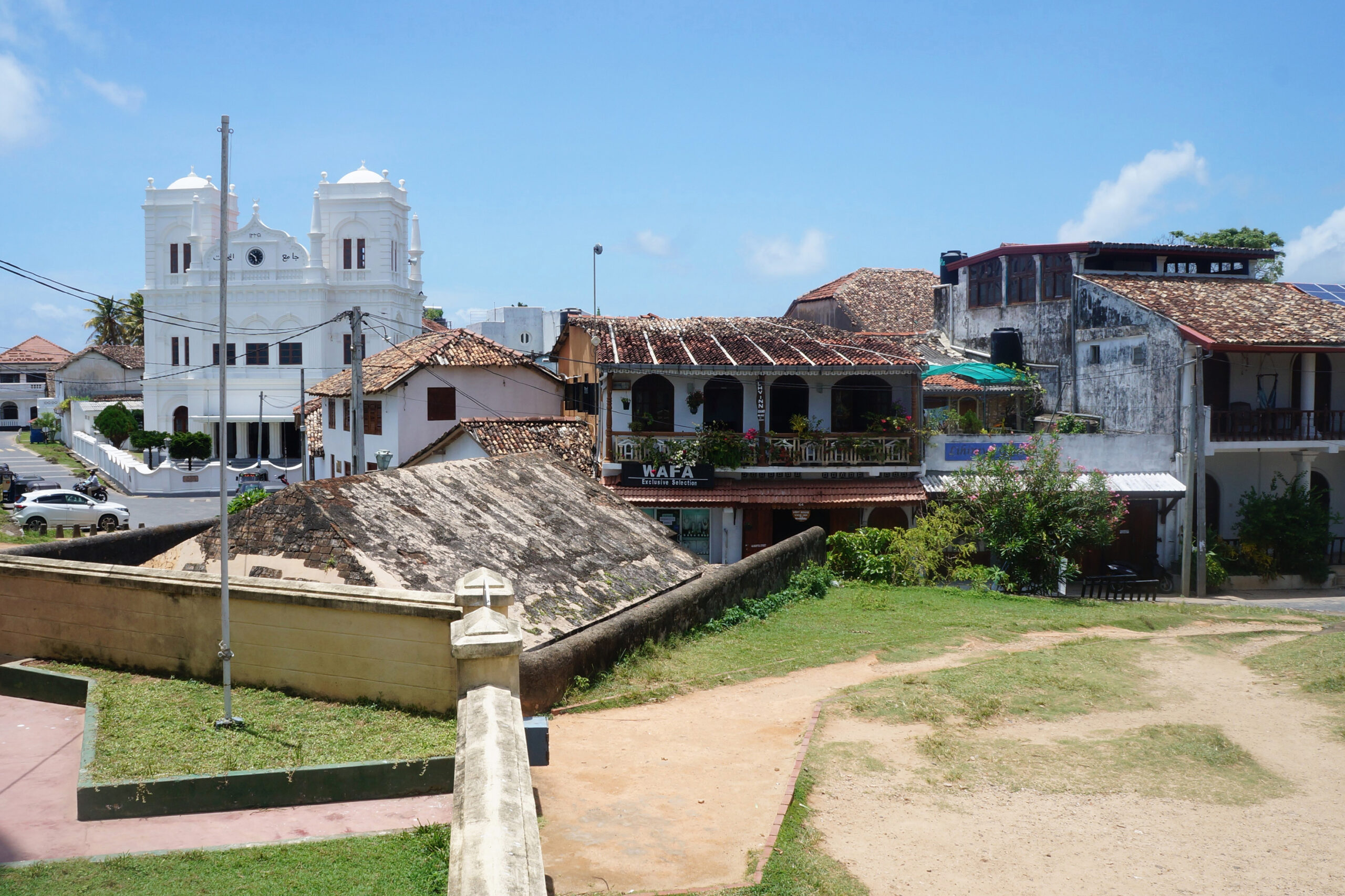
Dutch engineering expertise is also seen in the town’s ingenious sewage system, which remains in use today after it was rediscovered in 1922 and made functional again. Laid 2 to 3 metres below sea-level, interconnected brick-lined sewers across the peninsula allow the incoming tide to flow through them twice a day and carry waste into the sea. Residential areas are planned according to Dutch principles, where houses form dense clusters in a grid over the sewage network. The houses themselves, though built to European models, incorporate tropical South Asian devices such as narrow facades, internal courtyards and deep verandas under high pitched roofs, reflecting the climatic and material sensibilities of local builders. The systems of measurements used are also local.
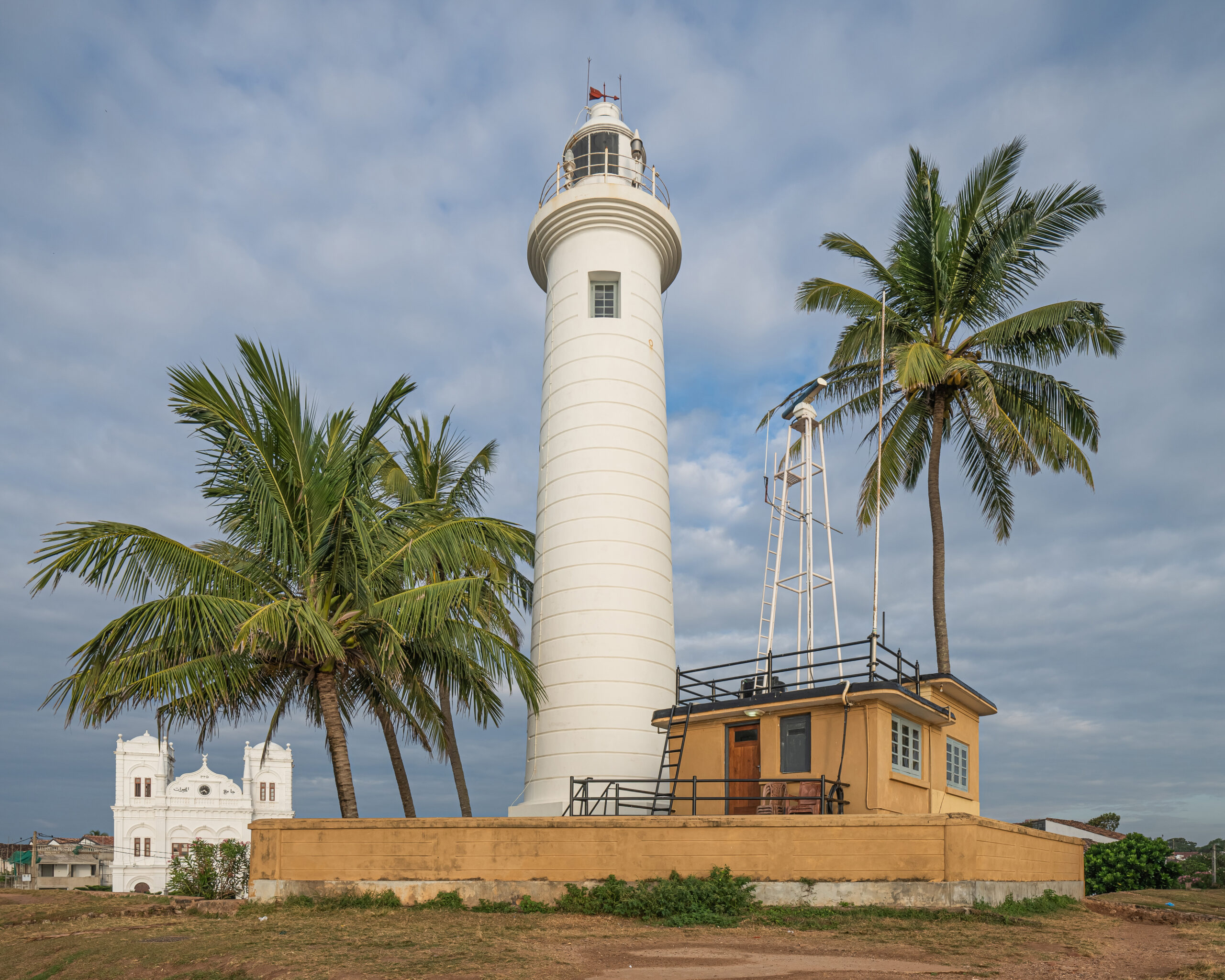
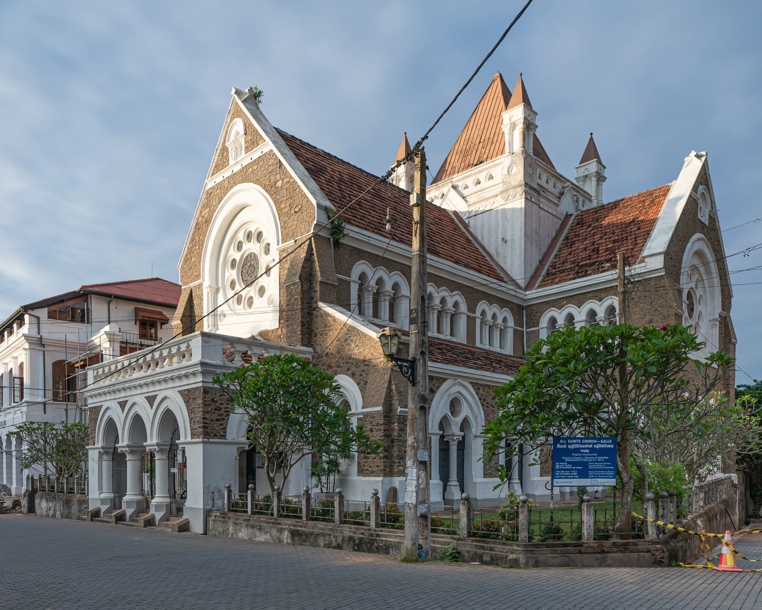
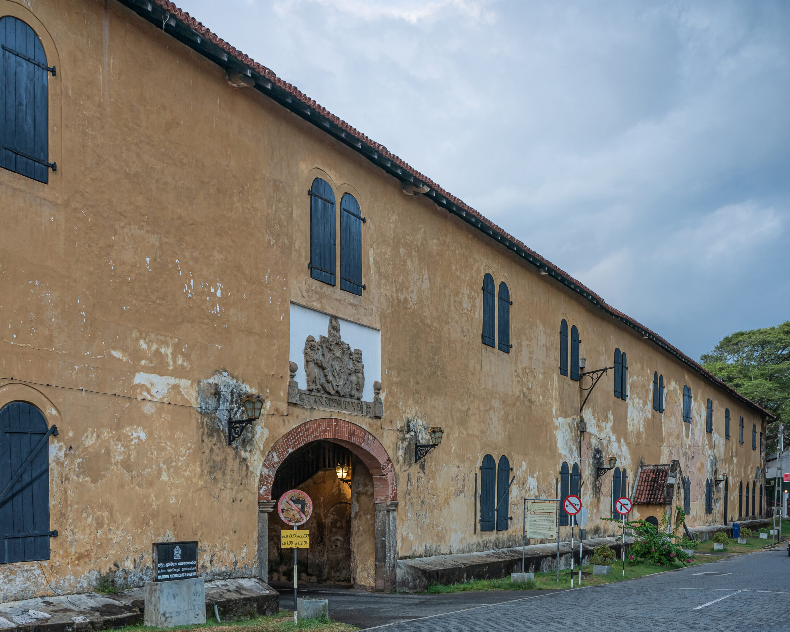
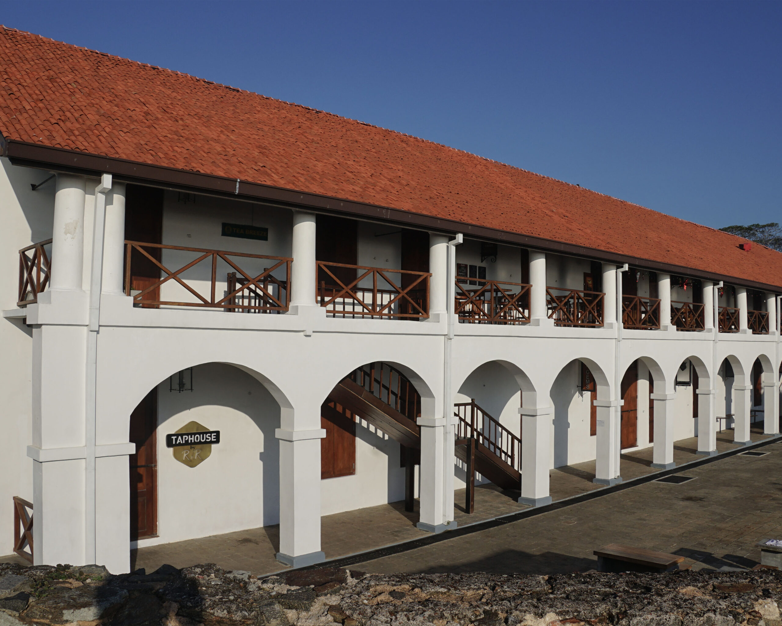
Among other colonial-era buildings in Galle Fort are the Galle Lighthouse, the All Saints’ Church, and the Galle Clock Tower, built with funds from local citizens in honour of the Burgher surgeon Peter Daniel Anthonisz in 1883. A Dutch warehouse has been repurposed as the National Maritime Archaeology Museum, and the Dutch Hospital into a shopping plaza.
Conservation status
While the fortifications no longer serve their military function, many of the residential and public buildings remain in use. Galle Fort was declared a UNESCO World Heritage Site in 1988. The fort, its monuments, public buildings and a few residences are protected and maintained under the Antiquities Ordinance, administered by Sri Lanka’s Department of Archaeology under the aegis of the Galle Heritage Foundation, which also represents the Central Cultural Fund and the Civilians’ Collective among other stakeholders. Historians and wildlife experts have advocated for protecting the Galle coral reef, also known as the Galle Fort Reef — one of the few reefs along the country’s coast that have not yet been destroyed by mining and development activity. Their argument was strengthened particularly when the impact of the 2004 tsunami on Galle Fort was seen to have been limited by the reef as well as the ramparts.
First published: 4 August 2026
Image Gallery
Bibliography
Bohingamuwa, Wijerathne. “The Galle Fort World Heritage Site: A Nature-Culture Approach to the Conservation of Cultural Heritage.” Journal of World Heritage Studies, (2019): 29–37.
Carter, Charles. A Sinhalese–English Dictionary. Colombo: The Ceylon Observer Printing Works; London: Probsthain & Co., 1924. https://dsal.uchicago.edu/cgi-bin/app/carter_query.py?qs=ගල්&searchhws=yes&matchtype=exact#gsc.tab=0.
Herald Online. “Sri Lanka: Galle’s Slow Tsunami Recovery.” The New Zealand Herald, March 2, 2012. Accessed March 19, 2025. https://www.nzherald.co.nz/travel/sri-lanka-galles-slow-tsunami-recovery/DJ2PL5EO73UO737GDHIOVV5AR4/.
“Galle.” Wonders of Ceylon. 2023. Accessed March 19, 2025. https://www.wondersofceylon.com/galle/.
Heydt, Johann Wolffgang. Map of the Castle at Punto Gale, c. 1740. Atlas of Mutual Heritage; Nationale Bibliotheek. https://commons.wikimedia.org/wiki/File:AMH-7076-KB_Map_of_the_castle_at_Punto_Gale.jpg.
“Old Town of Galle and its Fortifications.” UNESCO. 1988. https://whc.unesco.org/en/list/451/.
Schellinger, Paul and Robert Salkin. International Dictionary of Historic Places: Asia and Oceania. London: Fitzroy Dearborn, 1994.
Yatawara, Dhaneshi. “Galle Dutch Hospital Restored to Former Glory.” Sunday Observer, May 25, 2014. Accessed March 19, 2025. https://archives.sundayobserver.lk/2014/05/25/fea12.asp.
Feedback