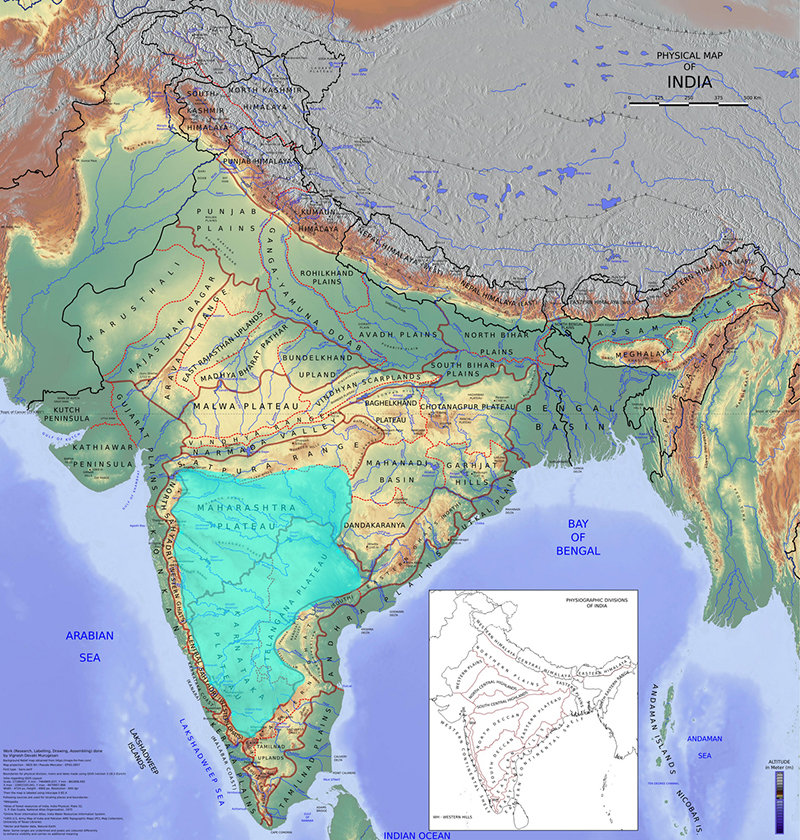
Roughly triangular plateau region occupying a large part of peninsular India, bounded by the Satpura and Vindhya ranges to the north, and the Western and Eastern Ghats on either side. The Deccan (from the Prakrit daccana, ‘south’) stretches from eastern Gujarat to northern Tamil Nadu. It is largely formed by Cretaceous-era lava deposits, with a gentle slope from west to east; southern India’s principal rivers including the Kaveri and the Godavari flow through the Deccan into the Bay of Bengal. Archaeological evidence shows a continuity of settlement from the Mesolithic period onwards, including a distinctive megalithic tradition. Historically, the Deccan has been a conduit between India’s northern and southern civilisations. Its culture is a unique fusion of Aryan, Dravidian and Islamicate elements, evident in the development of languages such as Maharashtri Prakrit, Dakhni and Kannada, and other important cultural developments. Major political powers here have included the Satavahanas (second century BCE to third century CE), the Pallavas (third to ninth centuries CE), the Chalukyas (tenth to fourteenth centuries CE), the Hoysalas (tenth to fourteenth centuries) and the medieval Deccan Sultanates such as the Bijapur Sultanate.
Deccan
Link copied!